This month Pete Moser dedicates the bell ringing to his friends in Hong Kong. May you live in peace and may your communities grow stronger in the face of terrible hostility.
Photographer Mark Kerton (whose YouTube channel is here), got up early to take these beautiful images of the Mablethorpe bell.
Pete Moser's playing of the bell at high water springs brings out its extraordinary harmonic properties this month.
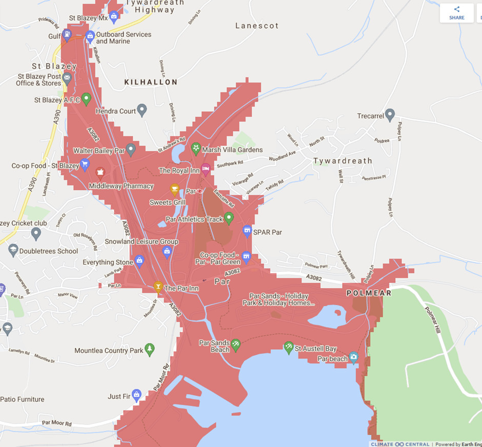
The website Climate Central came in for a bit of stick from the BBC R4 programme More or Less on 1.7.21. It shows maps of the world together with their liability to flooding from sea level rise. On the site it looks as if most of Holland and surprisingly large areas of the UK will be under water on one of its default maps, 'Land projected to be below Annual Flood Level in 2050'.
We would be the last to want to understate the potential impact of sea level rise, but there is a lack of clarity here. The explanation lies in the fact that outside the USA, the site does not take account of existing or planned sea defences. However, that is exactly the situation in Par - it has no such, merely a low-lying beach, and there are no plans to build any; too costly. So although it is simply computer-generated from elevation data in Google maps, this image, taken from the site, may well be a reasonably accurate forecast of what will happen in due course given the coincidence of a storm surge and seas rising at 4.5mm per annum - or more.
Photos from throughout May.... One of the unusual features of the Morecambe Bell is that it only rings due to the waves at higher tides, those either side of springs.
The team in Par, among MANY other things, have put work into designing a logo for their bell. It follows our national approach - the same outline, but with colour ways chosen locally, for historic or other reasons.
At the centre of this design is the white cross on a black background, the flag of Cornwall.
It turned out that it would cost a great deal to create the foundations for the bell at the first site we looked at, on the spit of sand, shingle and mud that emerges at low tide.
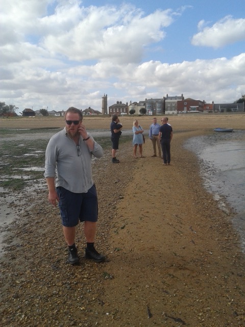
On April 16 2021 a group visited all the most promising sites around the town. The most promising, extremely promising in fact, looks to be just off the Low Lighthouse - a location rich in history. The video shows its current name - the Maritime Museum.
A promising looking site is emerging in Ventnor.
This is within the small harbour, against the harbour wall near the 'elbow' to the right of the photo above.
Pete Moser and friend celebrate the highest tide in December 2020.Wrapped up warmer than in August , and with less wind. Thanks, all!
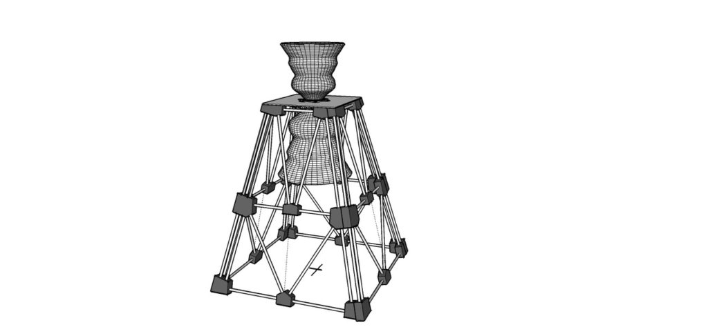
Marcus has completed an outline design for the installation in Par.
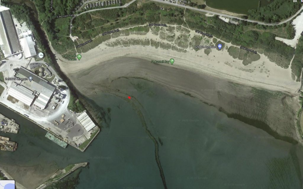
And the location is becoming clearer, in the fairway of the former river route.
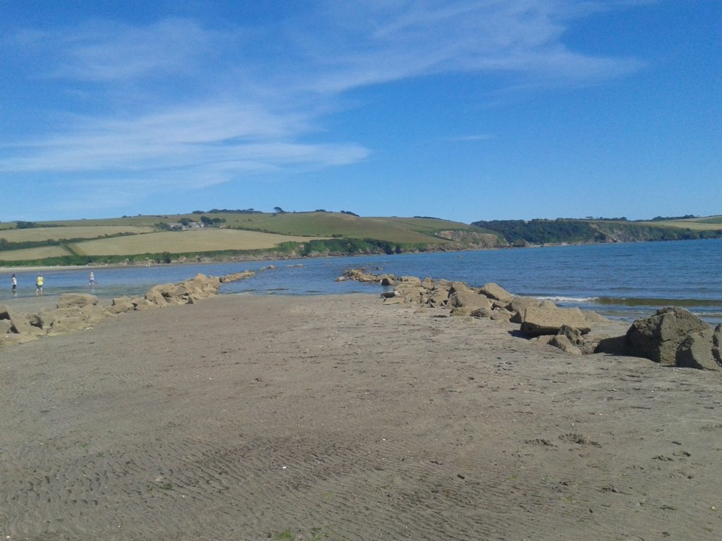
It is shown slightly more clearly in this aerial photo - the location is marked with a red dot.
An excellent team is forming to drive things forward. Watch this space!
There is a real head of steam building for the new Isle of Wight bell to be in Ventnor, on the South Coast.The ideal location looks like being just south of the 'Rotunda' a circular building atop a pumping station, sandwiched between the town's beach and Ventnor's small harbour.
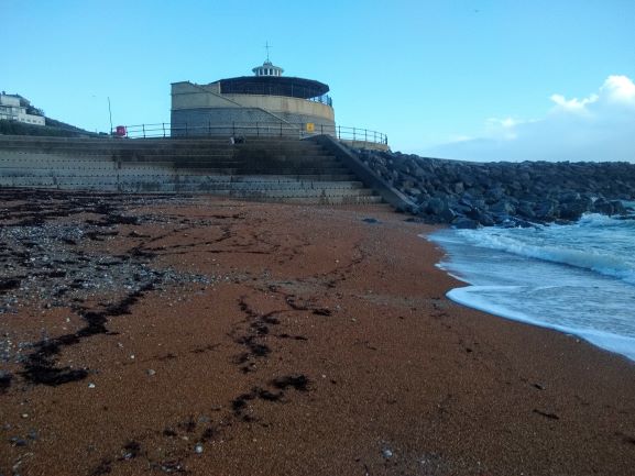
The bell would be mounted among the rocks to the right of the photo above.
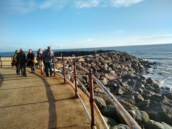
A fantastic team has formed to progress things, some of whom are present in this photo of the rough location for the bell.
Nasa has just launched a new satellite to measure sea level rise, charmingly named after a recently deceased scientist, Sentinel-6 Michael Freilich.

Long story short, here's Nasa's graph of sea level rise as measured by satellites to date:

It's rather a challenge to know how to feel about this.....
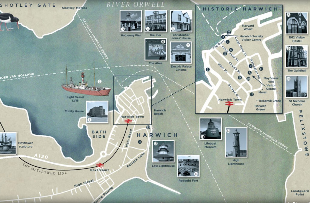
The proposed location for the Harwich bell is on a spit of sand that runs out from the beach. Obviously the bell will need a strong foundation - and so there needs to be an investigation of what is going on underground - core drilling.
On October 23 Tendring District Council engineers brought along a drilling rig. It turns out that you have to go down 12 meters to find something solid. So the bell will have to be mounted on a quite substantial pile.
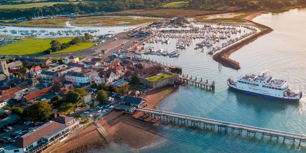
The small town is over a thousand years old. The castle was built by Henry VIII as a gun emplacement to defend the Solent. Now it is the terminus for one of the ferry services to the island, and this, a relatively small yacht harbour, and tourism are its main raisons d’etre.
Opened in 1876, and in its earlier years subject to occasional damage from ships, this is the longest wooden pier in the UK.
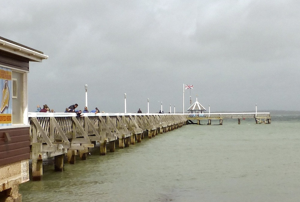
For that reason, it has needed costly restoration every decade or two in the last 40 years.
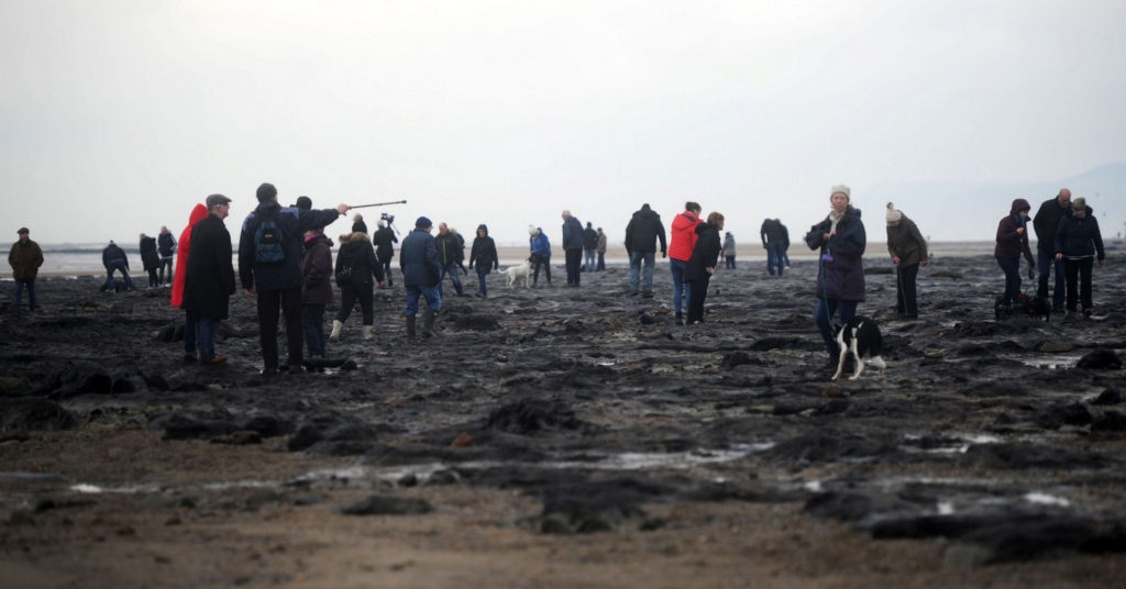
A very distinctive stone formation, locally called the Redcar Rocks, runs obliquely from the beach, starting near the RNLI station.
Farther out to sea, and visible occasionally at very low tides, is the petrified forest, thought to have been part of doggerland 5,000+ years ago.
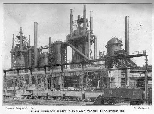
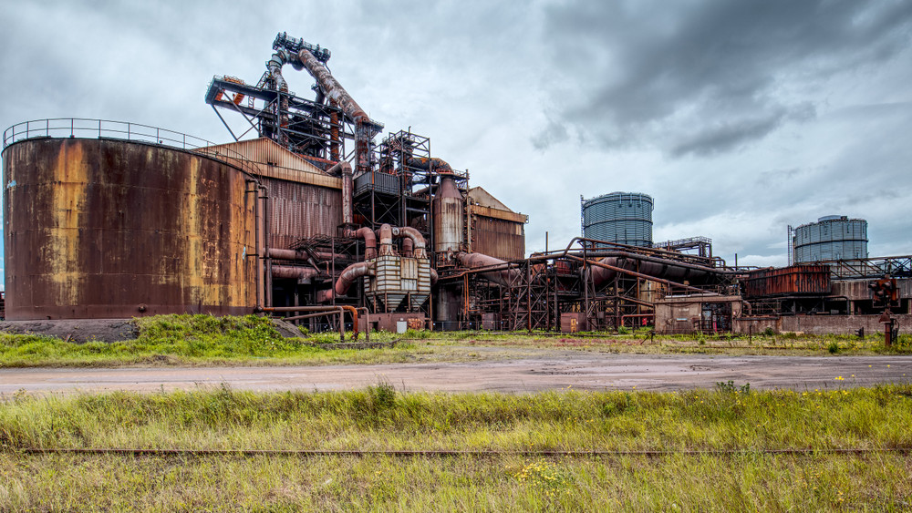
This once included one of the largest blast furnaces in Europe. It has been derelict since closure in 2015, and is being disassembled.
An early postcard:
The derelict site.
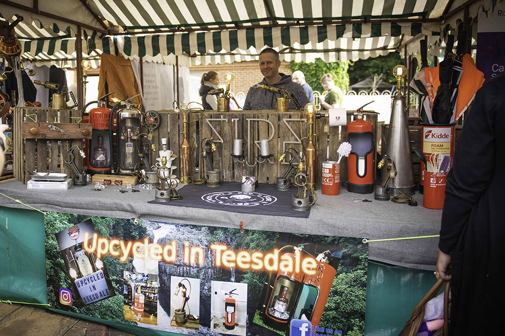
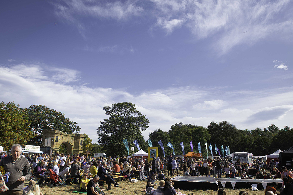
When the bell is installed in Redcar we very much hope to work in partnership with the Festival, whose mission is to: “ carry out activities to benefit the community and to advance public awareness of sustainable living through Festivals, exhibitions and other activities”. Hallelujah!
Here are some images from the 2019 Festival.
And here is video from the 2020 Digital Edition.
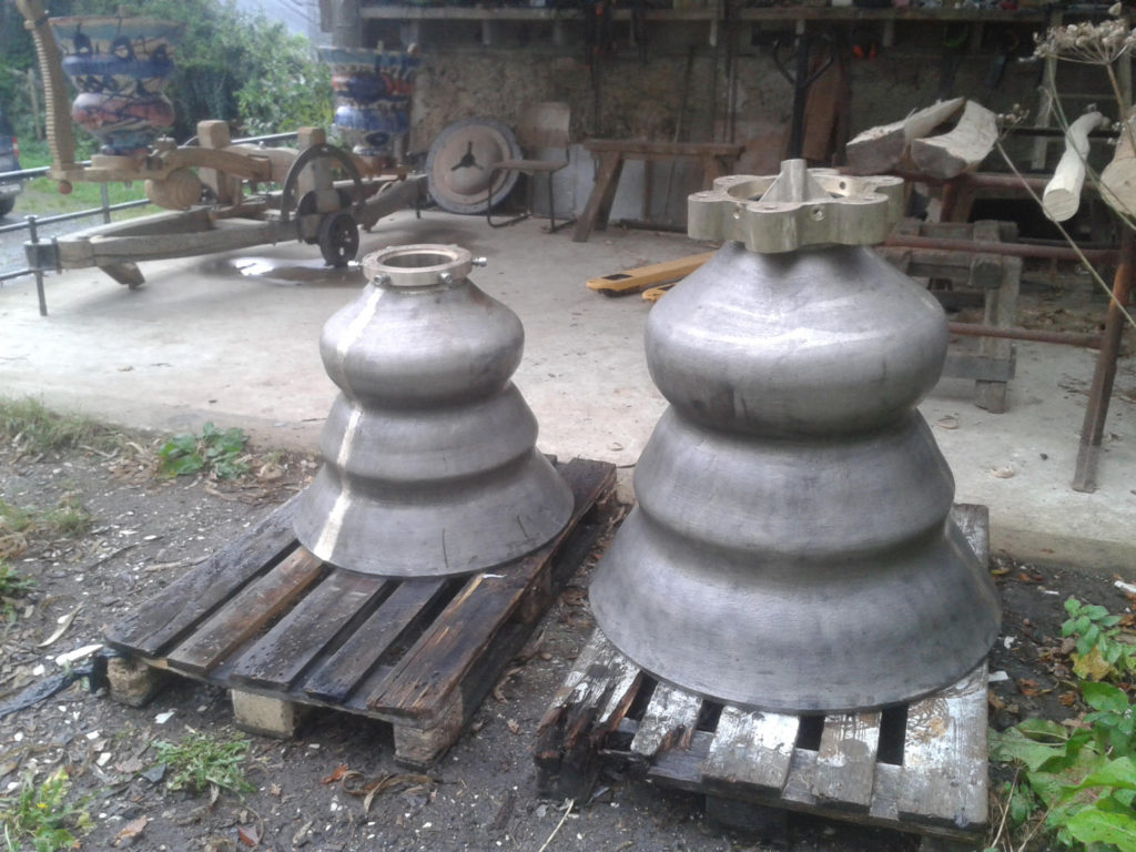
Horribly delayed from the proposed installation in July 2020, the bell has finally been delivered to Marcus Vergette's studio from the foundry.
Can it still be installed this year? Watch this space.
Current thinking is to install the bell on a spit of gravel, exposed at low tide, running roughly Eastwards from Harwich beach, in the direction of Felixstowe.
The heart of Harwich is remarkable. On the tight grid of streets there are innumerable historic buildings, together with a large number of structures of military or maritime significance - forts, lighthouses and more, together with the massive buildings of Trinity House, the Harwich Haven Authority and many other current marine businesses.